- Sagres
- Burgau Fort
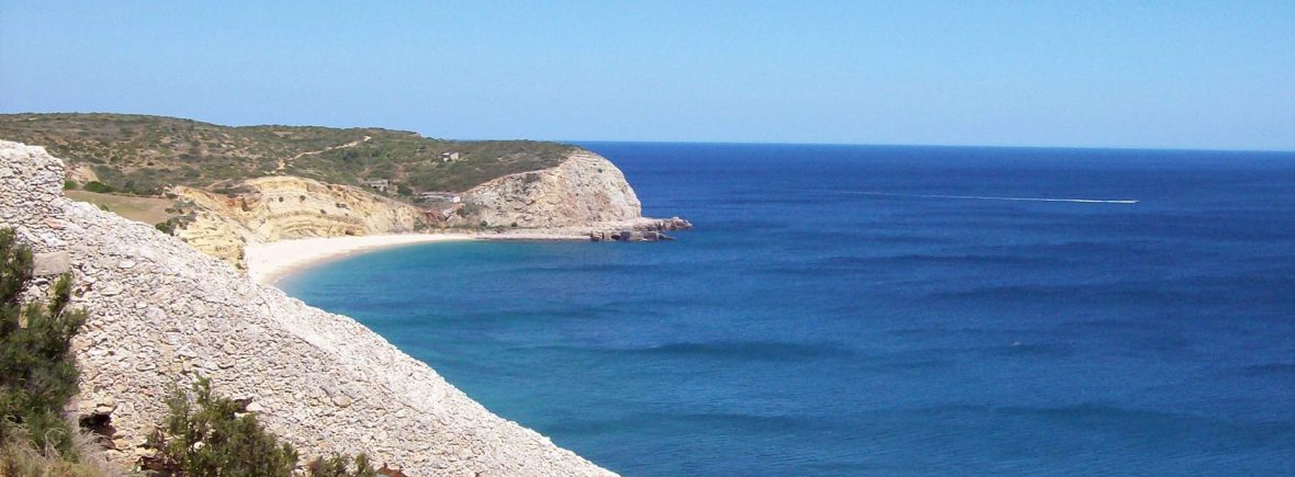
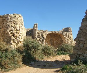
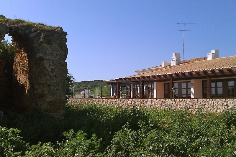
Burgau Fort is currently a ruin located at the top of the easterly headland, next to the complex. It played a major part in the history of Burgau and the local community are proud that it is a part of the town. We are hoping to help get it restored one day… watch this space for further details.
There are remains of fortifications all the way along this stretch of the Algarve coastline — some were just watchtowers and others were more substantial defensive buildings.
- Forte de Almádena: The fort was built during the 16th century on the orders off King João III.
- Burgau has the remains of 17th century fortifications built during the reign of King João IV. As can be seen from the photo in the slideshow, Burgau fort is next to our restaurant terrace.
- At Figueira the remains of a 16th century fortification can be seen, but it isn’t easy to get to.
- Zavial has the remains of a 17th century fortification and the ruins of a large masonry tower, formerly part of a watchtower, are visible at Ponte da Torre.
- Boca do Rio has remains of a Roman villa, bathhouse and fish salting tanks.
- Praia da Salema is the remains of a Roman villa.
- Fortaleza de Santo António on the EN268 at Beliche was built during the reign of King João III in the 16th century, to protect the fishermen. Inside is a chapel dedicated to Santa Catarina.
- Fortaleza do Cabo de São Vicente, near Sagres, was constructed during the reign of King João III to defend the coast from the pirates and corsairs. The lighthouse was built in 1904 in the centre of the fortifications on the site of an old convent.
- Fort do Beliche in Sagres: The remains of the 16th century fort still stand on the cliff top near Praia do Beliche. Fort do Beliche which was built to protect the local fishing fleet was destroyed by Sir Francis Drake in 1587 and subsequently rebuilt in 1632. Inside the fort is the chapel of Santa Catarina.
- Visitors are spoilt for things to do in Sagres. It has beautiful beaches and stunning views from the cliff tops all around Sagres and Cabo de São Vincente. It is an ideal place for walking or biking and it is one of the best areas in the Algarve for surfing…whichever way the wind is blowing the surf will be up somewhere! There are boat trips for fishing or just enjoying the coastline, diving and even Blokarting (on the main road between Sagres and Vila do Bispo). Visit the Fortaleza, the fort of Henry the Navigator, and don’t miss the beaches at Martinhal and Beliche — popular with surfers and sunseekers alike
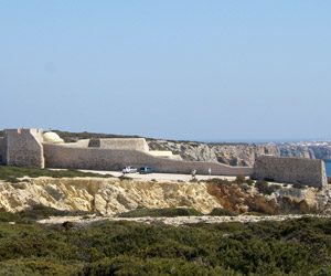
- Fortaleza de Sagres – originating from the 15th century and generally reputed to be the site of Prince Henry’s School of Navigation. It was destroyed by Sir Francis Drake in 1587 and subsequently rebuilt in 1793.
- The Fortaleza de Sagres lies on the Ponta de Sagres, 2km/1.25mi south of Sagres. This narrow promontory reaching out into the seawas called Promontorium Sacrum (sacred promontory) by the Romans, who thought this remote area was a home of the gods. The fortress still forms a focal point in the story of Portuguese discovery and conquest in the 15th and 16th C., even though it seems improbable that an international centre ever existed here. Henry the Navigator is said to have preferred his house in Lagos to that on the cliffs at Sagres and to have come here only very occasionally. Sagres harbor remained unimportant, as the expeditions that Henry financed and organised set out from Lagos.
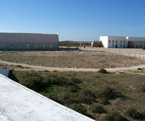
- Wind Compass in Sagres: The 39m-diameter wind compass, (“Wind Rose”) is an impressive, yet puzzling sight.
- You’ll find Sagres a complete contrast to the coastal towns and resorts further east, and far less commercialised with fewer hotels, restaurants and tourist amenities. Sagres is a stark town, which is remote, rugged and windswept. It is surrounded by scrubby countryside, dramatic cliffs and wild beaches. It is by no means an attractive town, but it is not short of a devoted set of fans who return here year after year.
- This area of the Algarve also has evidence of the existence of human presence as far back as the Stone Age in the form of numerous ‘menhirs’ or ‘standing stones’. Some are in groups of two or three and others up to 15 or 20.
